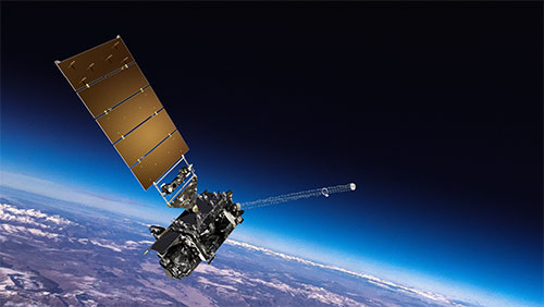
Weather Satellite
A weather satellite or Meteorological Satellite is a type of Observation Satellite that is used to monitor the Weather and Climate of the earth

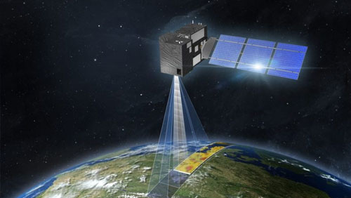
DMRV Carbon
Unlock the power of satellite-driven Carbon Monitoring with the DMRV Platform, using high-resolution satellite imagery
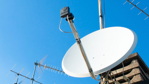
IOTV Satellite
Discover how satellite communications can support IoT Networks, Ensuring Resilient and Reliable Connectivity to almost any location
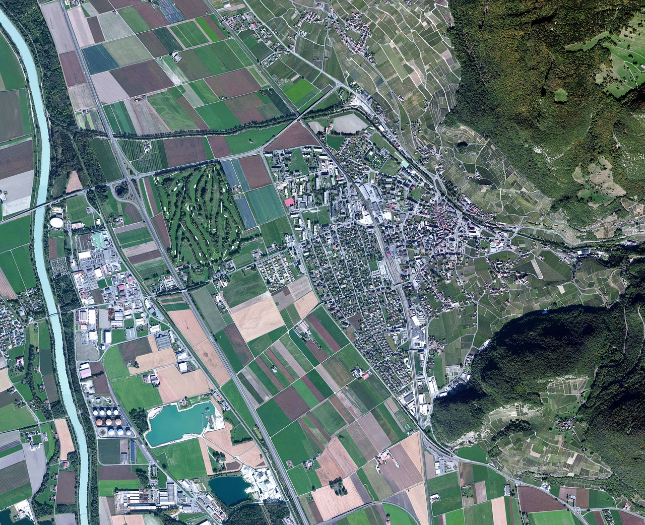
Imagery Satellite
Satellite images are images of earth collected by imaging satellites operated by Governments and Businesses around the world