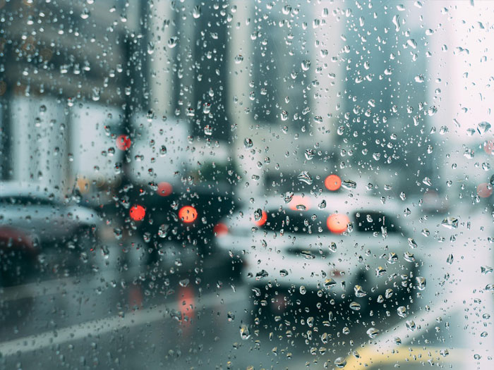
Imagery Satellite

The Resolution of Satellite images varies depending on the instrument used and the altitude of the satellite’s orbit

The Spectrum of Satellite Images

Satellite images have numerous applications in a variety of fields.

Weather

They guide meteorologists in forecasting patterns, tracking storms, and understanding climate change
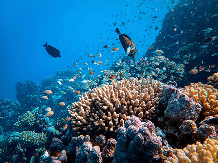
Oceanography

By measuring sea temperatures and monitoring ecosystems, satellite images unlock insights into our oceans' health and global climate

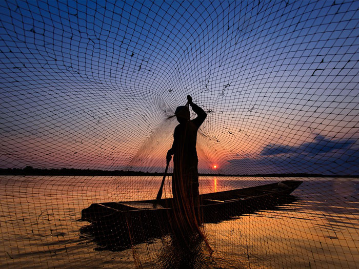
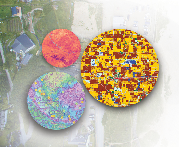
Agriculture & Fishing

Helps locate fish populations, assess crop health, and optimize resource use for a thriving agricultural and fishing industry
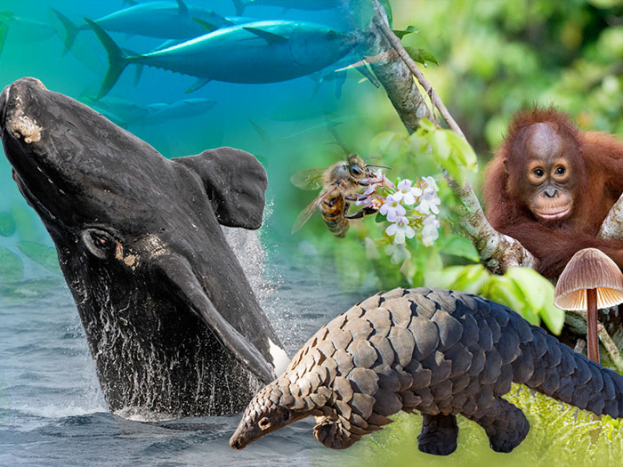
Biodiversity

Conservation efforts leverage satellite technology to map habitats, monitor ecosystem changes, and protect endangered species

Forestry

Satellite data empowers sustainable forestry by tracking deforestation, assessing fire risks, and managing resources effectively
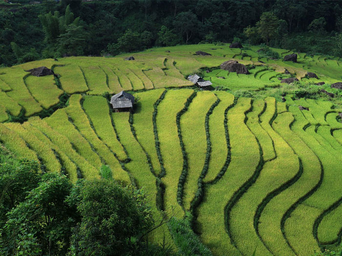
Landscape

Analyzing land use patterns with satellite images supports urban planning and facilitates sustainable development initiatives

Satellite images (also Earth observation imagery, spaceborne photography, or simply satellite photo) are images of Earth collected by imaging satellites operated by governments and businesses around the world. Satellite imaging companies sell images by licensing them to governments and businesses such as Apple Maps and Google Maps.

There are also private companies that provide commercial satellite imagery. In the early 21st century satellite imagery became widely available when affordable, easy to use software with access to satellite imagery databases was offered by several companies and organizations.

"Satellites can assist environmental monitoring by
detecting changes in the Earth's vegetation"

Scroll to Top